And we’re off with a little bit of engrish to get us going.
Written by Chris
I don’t know about you, but I love walking to places. I love the freedom of being able to come and go when I choose, the satisfaction of making it somewhere under my own power, and the opportunity to take in my surroundings at an agreeable pace. That is why Mindy and I jumped at this opportunity to spend close to a month walking our way around the Annapurna range in the Himalayas of Nepal, that feature some of the tallest mountains in the world such as Annapurna I (26,200 ft.), Machhapuchhre (22,943 ft. a.k.a. “fishtail” peak), and Dhaulagiri (26,795 ft., 7th tallest in the world). The Annapurna circuit is a hugely popular trekking route in Nepal and the route is well-supplied with guesthouses/restaurants, stores for supplies, and the occasional German bakery. Though it is long and involves some high-altitude, it is a very accessible hike and provides weeks of continuously changing, breath-taking views. It turned out to be as great as we were expecting.
After outfitting ourselves in some of the hundreds of gear shops in Thamel, the tourist hub of Kathmandu, we were ready to commence. The vast majority of stuff was counterfeit and faking North Face logos seemed to be a national past time. We did manage to find one of the few legit stores run by an Australian expat and he got us set up right. The next day we headed out to the town of Bhulbhule to begin our trek.
We were dropped off with a busload of trekkers on the evening of the first day and there was a mad rush to find beds in the few nearby lodges. We are not folks who like to fight through crowds so we immediately set-off out of the town in the hopes of finding something away from the masses. May not have been the smartest move as the sun was setting and we were not really loaded properly. We weren’t seeing any lodges and after a bit it started to rain and get dark. We marched on in silence, with Mindy freaking out a bit, but soon came upon a small cluster of lodges and ducked into the first one.
It was sort of like a motel with 4 rooms and a covered outdoor dining area. The owner showed us a room with an attached bathroom, but I was just happy to get out of the rain and dark. I asked him how much it cost and he replied, “How much you want to pay?” After I balked at the question for a bit, he asked me to pay the equivalent of $3 for the night. I thought this was amazingly low and readily agreed, but I would later find out that this was on the high end. We met a Swiss couple on their honeymoon out in the dining area. We all had dinner and tea, chatted a bit, and headed to bed.
The room turned out to be little more than some tin walls with a tin lid on top. It kept the rain off of us, minus the drips on Mindy’s head, but the wind blew right through. We spent a cold night, even in our beefy sleeping bags, but awoke feeling rested. I am happy to say that it all got better from here in every way.
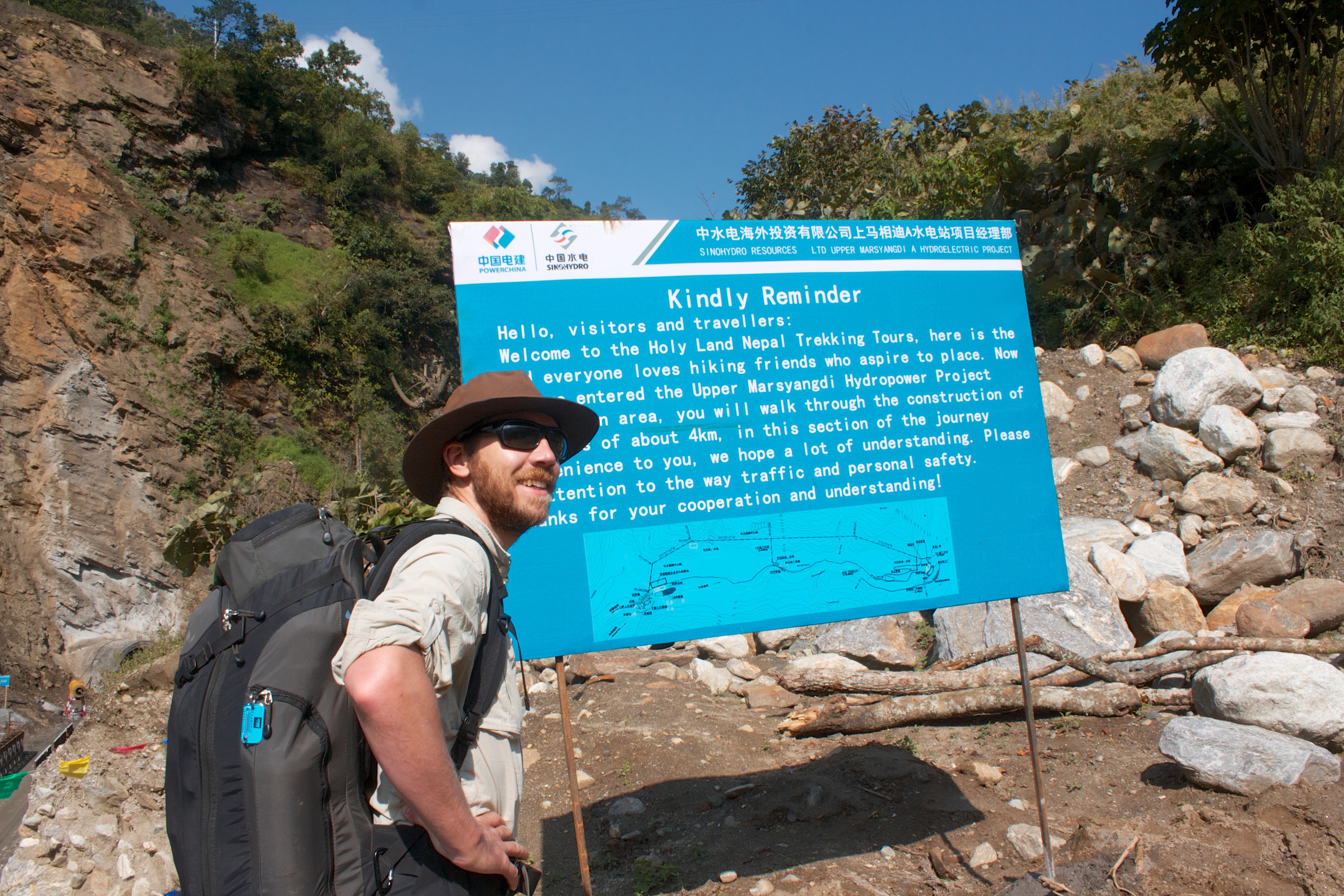
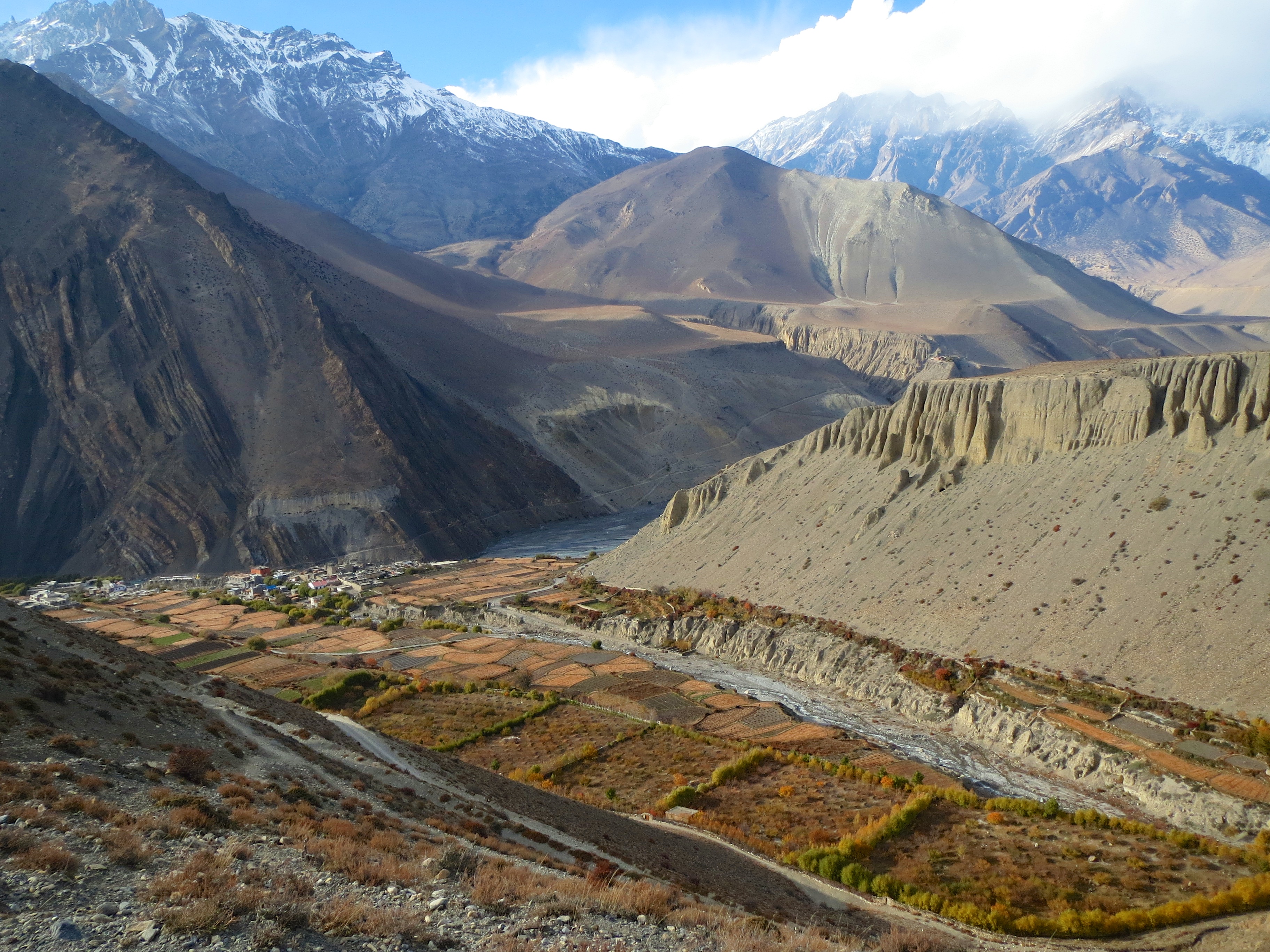
After breakfast in the morning we headed off down the controversial road. In the interest of progress, Nepal has been putting in a road around the Annapurna circuit where there has, until now, only been trails. It is fantastic for those who live there as they can get goods much cheaper by car than hauled by donkey, but the trekkers are forced to hike along an exposed, pot-holey road while dodging jeeps and motorcycles the whole way. Hardly the pure nature experience. Much of our route planning was finding ways to avoid the road. Unfortunately, this was very difficult during the first few days.

Trying to route around the road. Where is the “you are here” indicator?
Things settled into a nice rhythm pretty quickly. We would hike for a few hours, end up at a town for lunch then hike for a few more hours and pick out a lodge to stay in at the next town. Most days were between 5 and 7 hours of walking for us. The lodges were usually very basic; just a room with 2 beds and maybe a table, a lightbulb, maybe an electrical outlet, a shared bathroom (squat toilet, occasional hot water shower), and no heat. But none of this was ever a problem. We were camping. We were “roughing it” and even these simple facilities were far more wonderful than I could have asked for. Besides, the lodging went for bargain-basement prices; from a high of $5 near the difficult-to-access pass to a low of $0 (yes, we stayed for free a few nights on the promise of buying our meals there) throughout the circuit. We couldn’t have beat that sleeping outside in a tent.

Just packing it up in a typical lodge room. Where’s the breakfast nook?
We spent the first 5 days hiking up the Marshyangdi river valley and trying to avoid the aforementioned road. The river was a raging torrent smashing through the rock cliffs down here, but it would gradually shrink as we got closer up to the source. We got many up close peeks at the river during our frequent crossings over the thrilling suspension bridges high above it. On many occasions, I found myself gazing deeply into the gorgeous blue-green waters charging by.
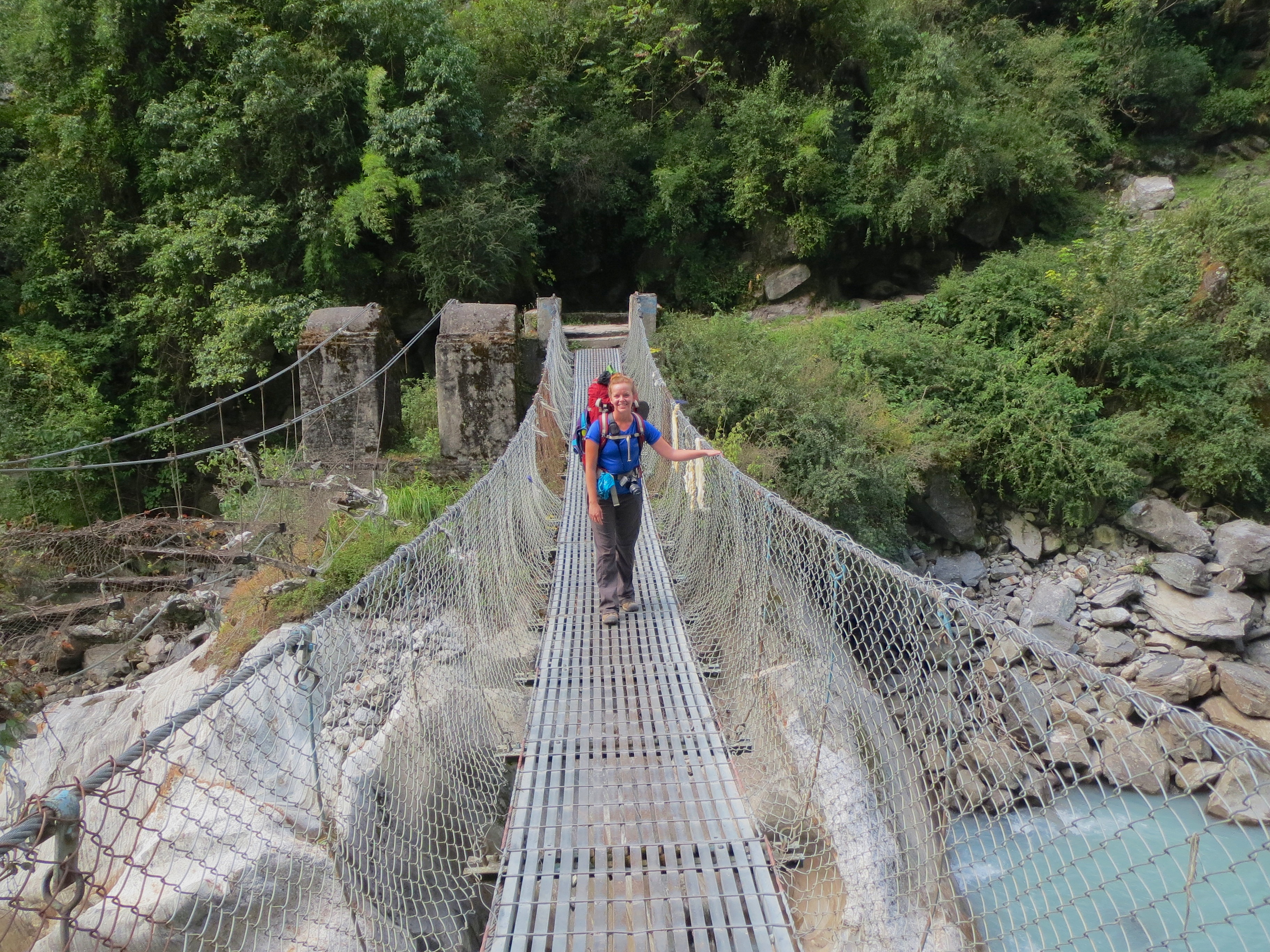
Bridging the great blue-green.
On the fifth day, we reached the town of Chame where an ancient archway over the path prevents cars from going further and marked the end of the official road. Things were much easier hiking the trail from here on, though many motorcycles still continued along the trail keeping us on our toes.
One of the other great things about the hike was the food. It’s great to spend your day exerting yourself climbing through mountain ranges and then to sit down to a fresh, tasty meal day after day. Menus were very similar throughout though they tended to evolve as we went. We started with all possible varieties of tea, rice and noodle dishes, momos (a Tibetan dumpling, steamed or fried, stuffed with goodness), and soups, but they eventually started to add things like pizza, burritos, veg. burgers, and buffalo steak, of greatly varying degrees of authenticity, often with comical results. The region was also known for many specialities including apple pie, the Snickers roll (a battered, deep-fried Snickers bar), and the ubiquitous Dal Baht; the staple Nepali dish of lentils and rice now a staple of every restaurant.
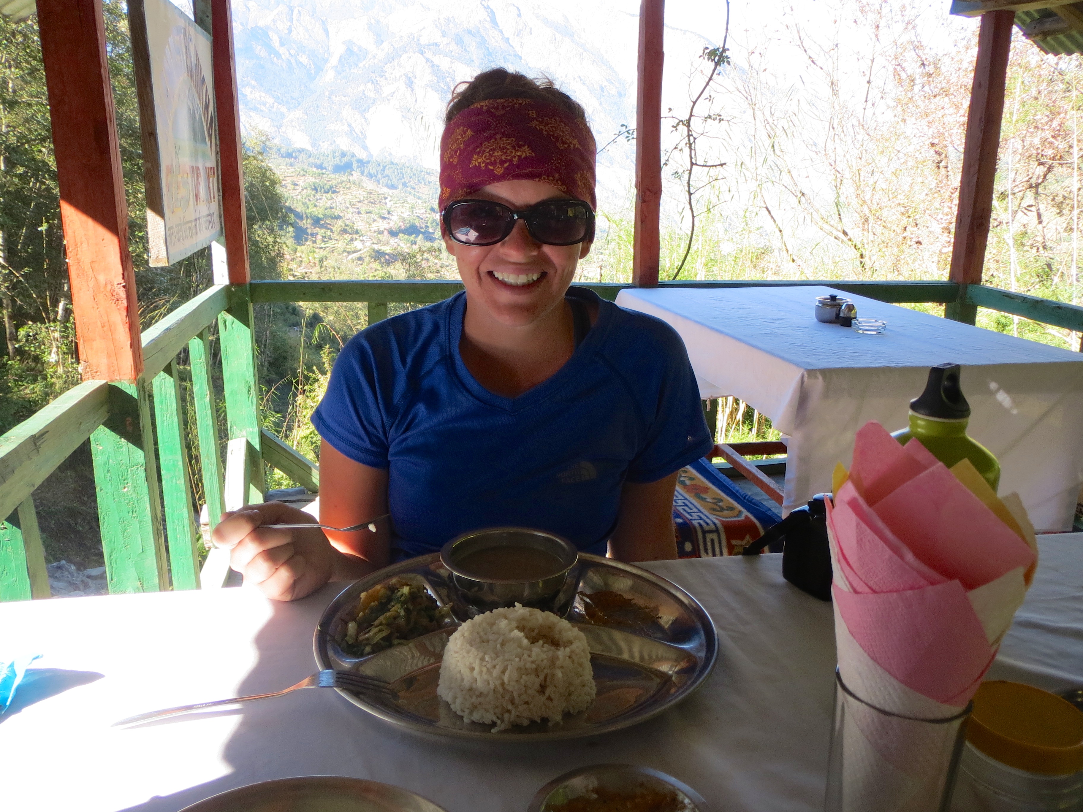
Classic dal baht deluxe. Lentil soup and rice, chutney, salad, and a crispy papadan. Yums!
We started at an altitude of 2,760 ft. and had been slowly working our way up towards what would be the high point of the trek, Throng La pass. Besides having to eventually climb to an altitude of 17,769 ft., we would also have to climb back down the other side a distance of over a vertical mile. It was a very long day ahead of us, but for now, we focused on gaining altitude slowly so our bodies could acclimatize.
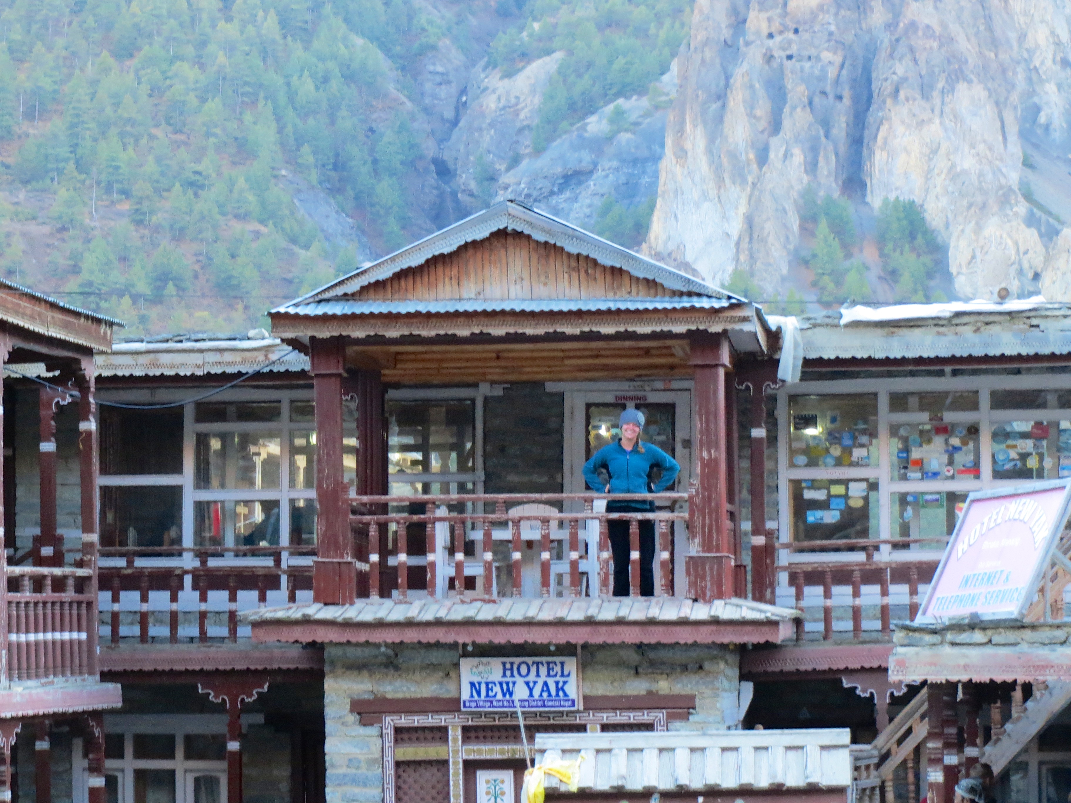
As we got closer to the pass, what had been almost continuous small towns started to coalesce into larger, more spread out towns. The scenery gradually shifted from endless rice terraces to fields of millet to fields of yak. The lodges were fewer and bigger, too, and we started to run into some of the same people day after day. In particular, we kept meeting up with a group of 5 Canadians about our age, and we eventually assimilated ourselves into their group along with another San Franciscan we ran into in the mountains of Nepal. Besides having some great company in the evenings, we were also able to greatly increase our collective bargaining power when negotiating lodging. A few of them even managed to get us all rooms for the low, low price of $0 (of course we agreed to eat and drink there and I’m sure they made a healthy profit that day).
Uh oh, the “where have you been” pose. Better get my butt back to the lodge.
We eventually all found ourselves at the final town before the camp after 12 days of trekking. We awoke at 4am so we would have time to clear the pass before any weather could roll in, we put on every stick of clothing we had, and set out. It was a tough climb, the altitude forced us to take it slow, but we just plugged merrily along. We finally reached the top of the pass after 5 hours and quickly ducked into the tea house on top to warm ourselves up (yes, some enterprising person built a teahouse at 17,769 feet and hauls himself and supplies up there every day and then goes back down because humans can’t really live above 16,500 ft. long-term).
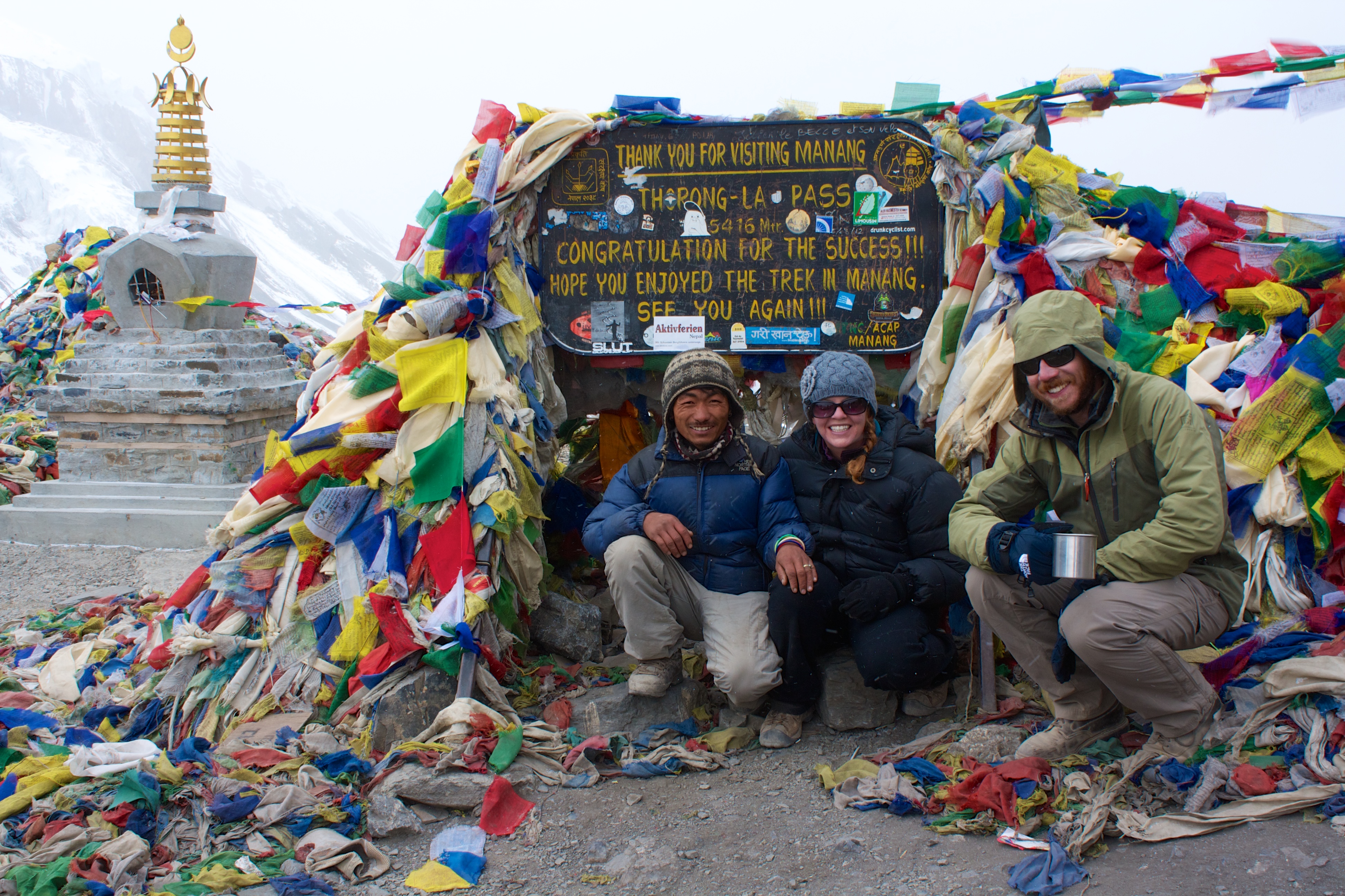
Passing the pass with our porter, Santos.
It felt great to have the climb complete, but we still had a pretty punishing decent ahead which would take a different kind of endurance. We took our pictures on top of the pass and we noticed some flakes of snow starting to fall. It was time to get a move on before things got nastier.
The way down was pretty tough. It was a long, steep decent and the terrain was pretty unstable. And, the snowfall was accelerating, making the dirt and rocks slick and even more treacherous. We had to strike a balance between taking it slow, staying upright and getting down fast before things got worse.
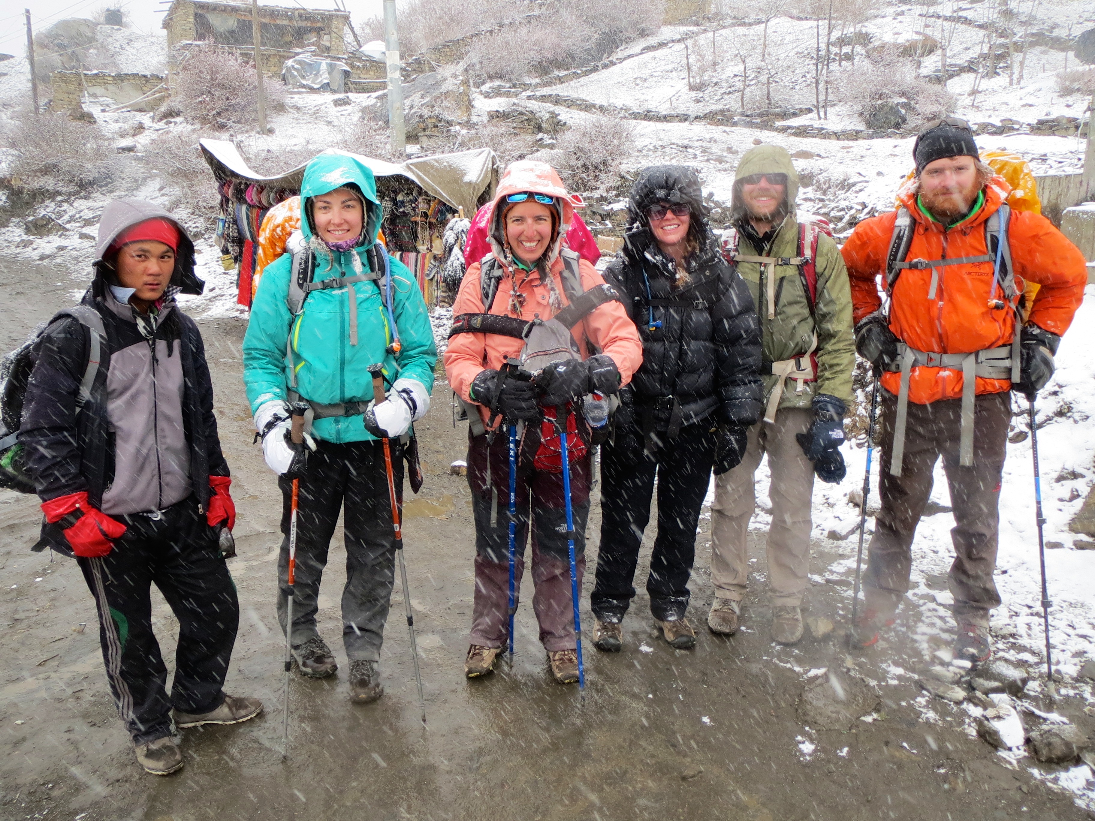
Coming down the pass with some of our Canadian friends (the slow ones like us) and their porter.
Fortunately, though tired, we strolled into the town of Muktinath in the early afternoon. A few of the speedier (younger, more Canadian…) members of our group had gone ahead and secured us some rooms at the Bob Marley Inn so we could just plop right down. I walked in dreading reggae but was delighted by the sounds of Abbey Road playing in its entirety as I got some blissful relaxation after a long and difficult day.
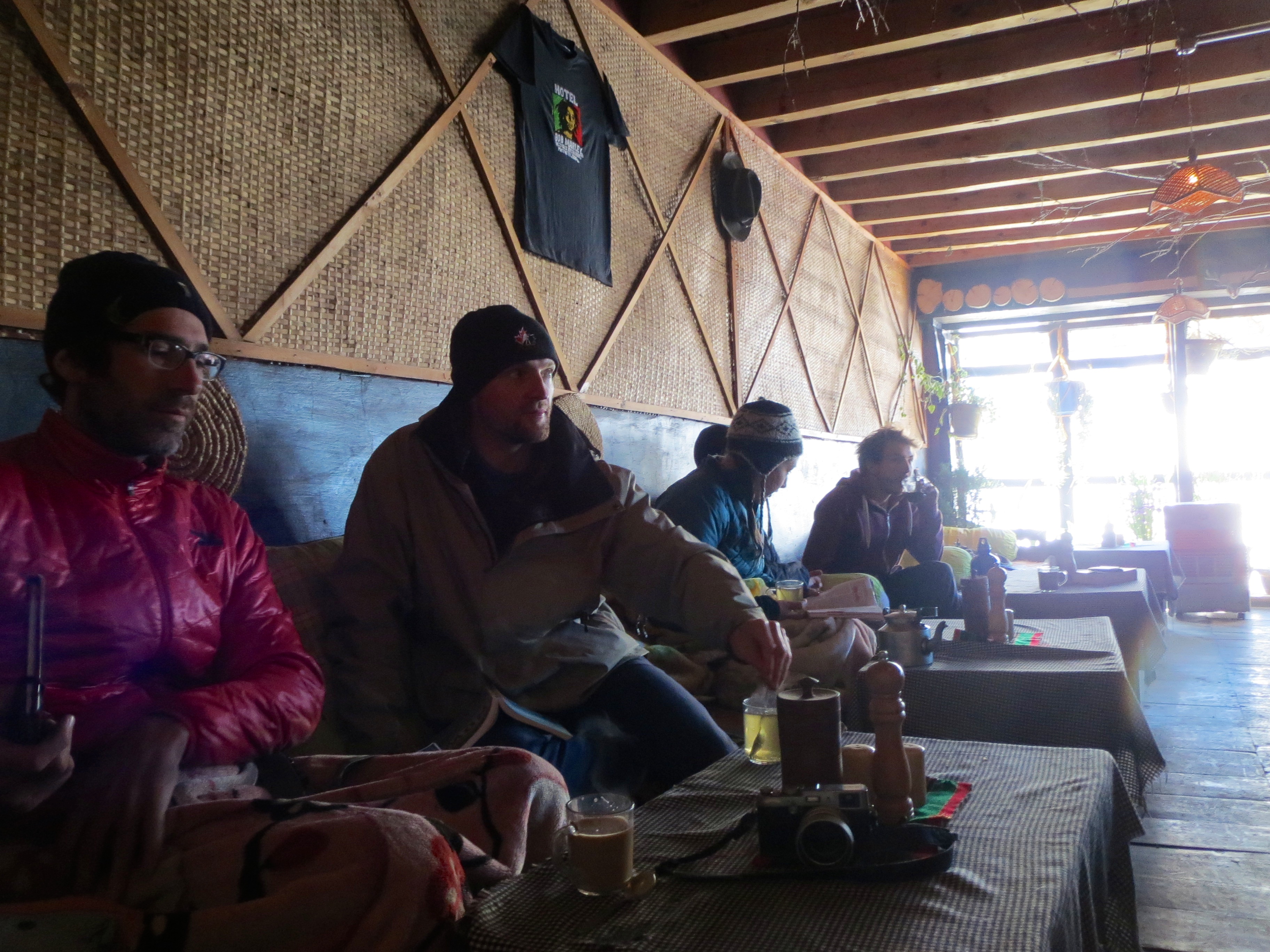
Some of our cohorts relaxing in the Bob Marley.
We all spent the evening recovering physically (food!) and emotionally (booze!) to celebrate our successful trek. After a great night’s sleep, we awoke to a winter wonderland since the snow had continued through the night.
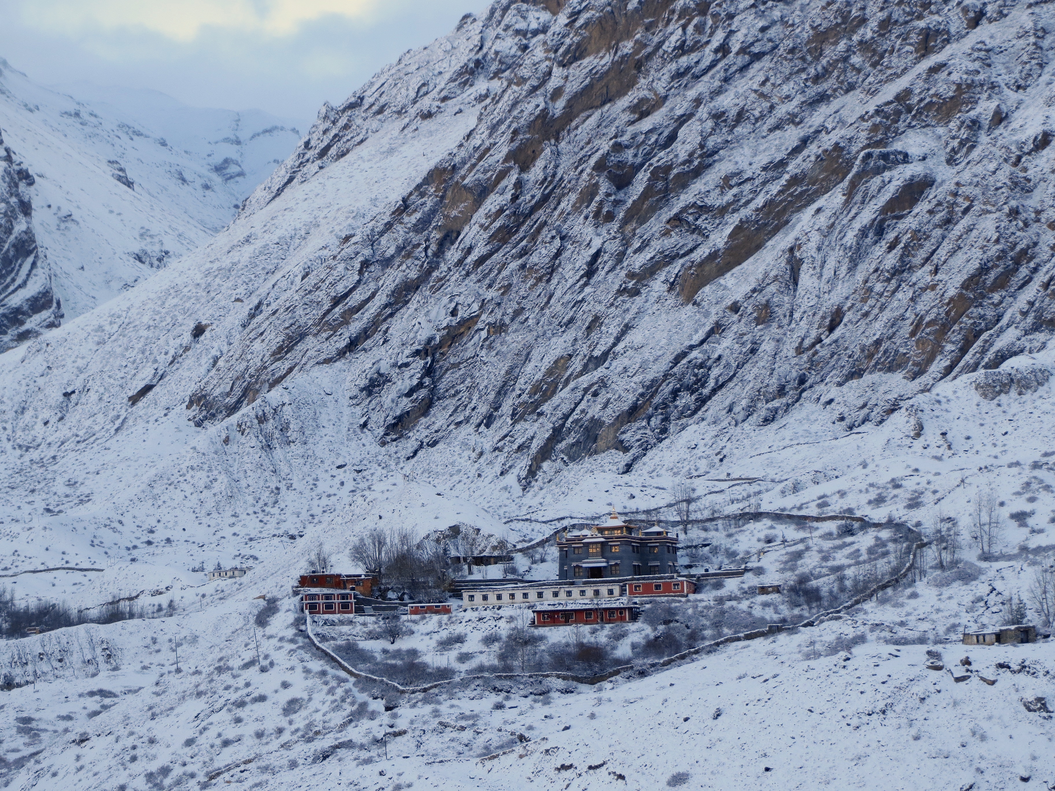
First snowfall of the year coinciding with the toughest part of our trek. Beautiful once we were comfortably inside.
The backside of the Annapurna circuit was yet another new experience. Our little group had split up by now (the Canadians caught an adventurous bus ride down) and Mindy and I were back on our own. It was mostly downhill but there were still many undulations ahead.
We sampled many of the apples (in the form of apple pie), which the region is known for and we hiked under expansive views of some of the world’s highest peaks. We passed through many beautiful, picturesque, labyrinthian, medieval towns. Our favorite was the town of Kagbeni. It is in a river valley at the convergence of two rivers, every bit of land is covered in farm plots (nicely squared off) or houses (scrunched to one end), it has a beautiful town complete with a YakDonald’s and a Cafe “Applebees”, and a major Buddhist monastery and school. They were looking for volunteers to help with solar energy projects, organic gardening, and teaching the young monks-to-be and we almost thought about settling down permanently here. Maybe next time.
Picturesque Kagbeni. Farm fields on the near end and all the town’s buildings scrunched into the far end.
We continued on with our trekking down and were mostly successful finding quiet trails through forest off of the new road on this side of the pass. The towns here were much more established and amenities increased as we went down due to the easy road access. We started seeing things like hot showers (I can get clean again!), electrical outlets (I can charge!), and, the dearly missed, western toilets (no more squat toilets, I can poop in comfort, hooray!). Things were getting easier day by day.
But not too easy. We did still have a pretty righteous day of climbing ahead of us towards the end. We had decided to head up to what is known as Poon hill where we could get some panoramic views of the great peaks in the range and some magnificent sunrises and sunsets. To get there we had to spend a full day trekking up, over one mile vertically, to get to the town at the base of the hill. Though the altitude was lower and the temperature warmer, the huge vertical climb made it as tough as the pass we had climbed a week before. But also as before, it was well worth the effort.
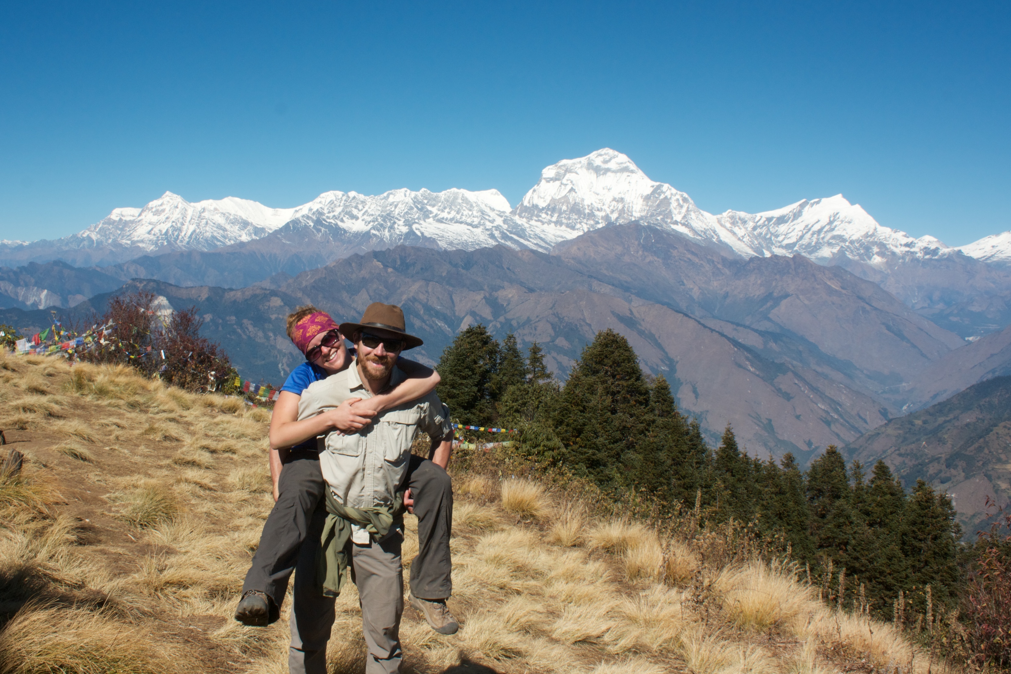
View of the giants from Poon hill.
We were getting back near civilization now and things were continuing to change. We started to pass massive groups of fresh-looking hikers doing a quick few-day loop up to Poon hill from the main highway. They kind of seemed like alien creatures to us after so long in the pseudo-backcountry. They bounced down the hill past us, freshly showered, makeup, little day pack, as we trudged up, haggard and warn (well, maybe that just applied to me, Mindy still loved showering), lugging a full compliment of survival gear on our backs. These passing retirees and teenagers said things like, “I’m glad we’re close. I don’t know if I could go much farther,” and we had been at this for 3 full weeks. It was all quite surreal.
We awoke on our final day with about 2 hours of walking down steps ahead of us. When we finally stepped down to solid ground, after covering ground on foot for 23 days, 110 miles, and climbing and descending a total of about 25,000 vertical feet, it felt far too easy to simply wave down a cab and say, “take me to town.” We had stepped out of the past, where plows are pulled by yaks and cloth is woven by hand, and back into the present where a machine can take both of us 20 miles in a half hour.
The entire trek was a revitalizing experience. We were out in the clear mountain air all day every day, we toured ancient temples, greeted Buddhist monks in passing, ate enough dal baht to fill a bathtub, and met so many different and interesting people; both locals and travelers from all over the world. It was challenging and beautiful, surprisingly accessible, and we’re already planning which route we’re going to take for next time when we come back.
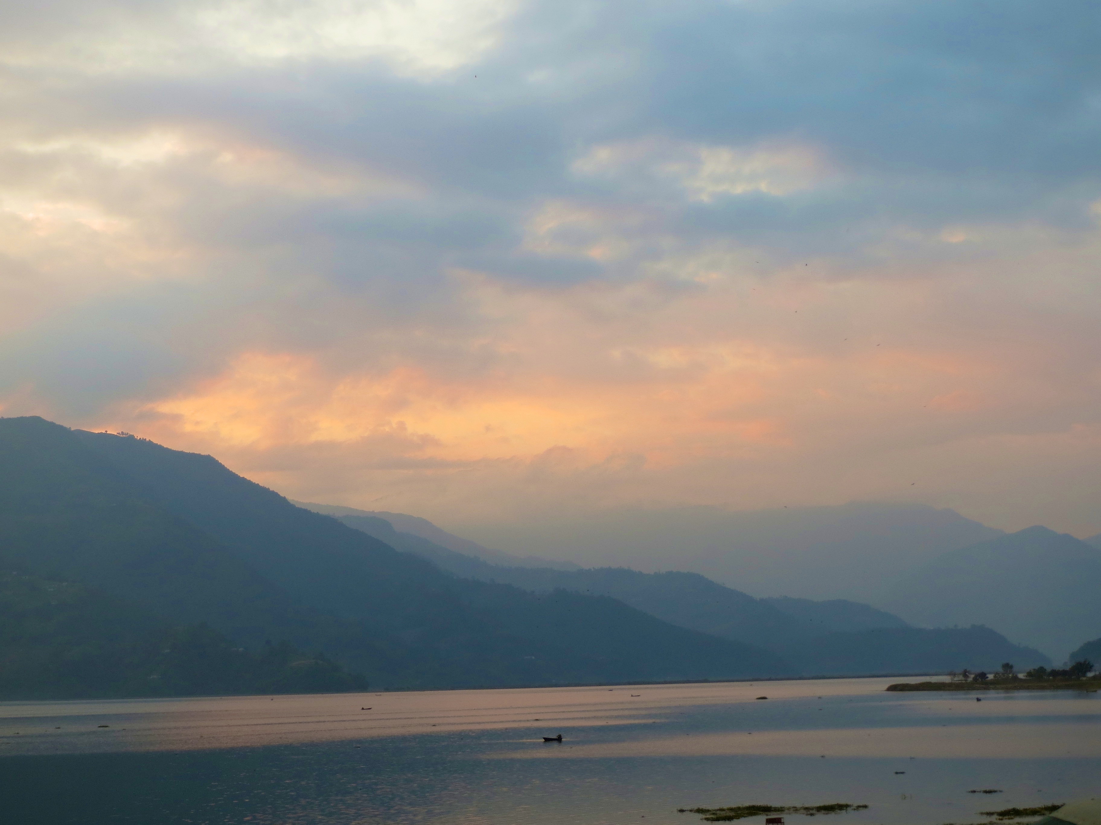
Good night, mountains. We’re safely back down, relaxing in Pokhara.
You two are unbelievable(crazy?) but oh am I enjoying sitting here warm and lazy following along. Love ya both.
Wow what a trek! Enjoy the blogs.
Love to you both, Mom and Dad